logo
خونه > محصولات > حسگر ژایروسکوپ الکترونیک >
Optical Fiber Strapdown Inertial Navigation System Combined With Satellite And Laser Speed Meter

Optical Fiber Strapdown Inertial Navigation System Combined With Satellite And Laser Speed Meter

Satellite Inertial Navigation System,Laser Speed Meter Inertial Navigation System

Laser Speed Meter Inertial Navigation System

Place of Origin:

China (Mainland)

نام تجاری:

Kacise

گواهی:

certificate of explosion-proof, CE

Model Number:

KsINS-120

با ما تماس بگیرید
درخواست نقل قول
جزئیات محصول
Align time:
5min
Power consumption:
≤ 20W
Operating temperature:
-40℃~ +65℃
برجسته کردن:

Satellite Inertial Navigation System,Laser Speed Meter Inertial Navigation System

,

Laser Speed Meter Inertial Navigation System

شرایط پرداخت و حمل و نقل
Minimum Order Quantity
1pcs
Packaging Details
each unit has individual box and all boxes are packed in standard packages or customers requests available
Delivery Time
5-8 working days
Payment Terms
T/T, Western Union, MoneyGram
Supply Ability
1000 Pieces per Week
محصولات مرتبط
با ما تماس بگیرید
86--17719566736
حالا تماس بگیرید
توضیحات محصول

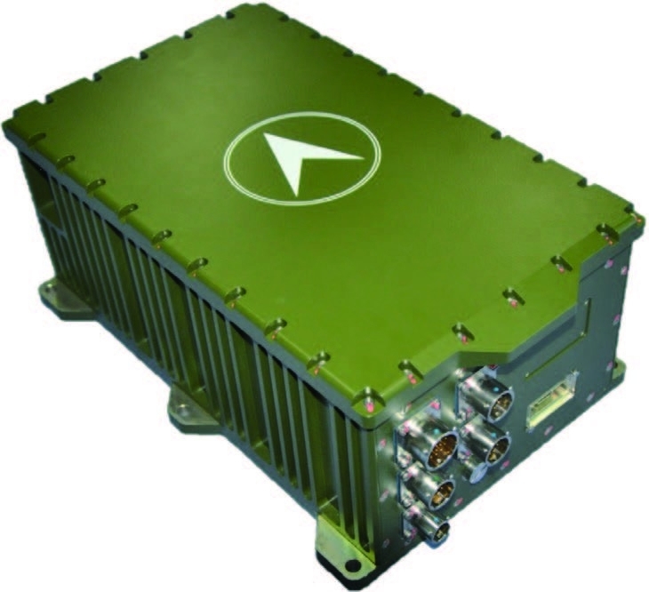
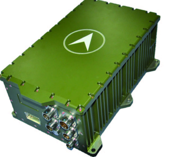
KsINS-120 fiber optic strapdown inertial navigation system

product description:

The KsINS-120 fiber optic gyro strapdown navigation system is based on our institute's fiber optic inertial navigation universal platform. This platform adopts a universal design concept and is easy to make adaptive changes according to user needs. It has a short development cycle, high maturity and good reliability. and other advantages; its supporting gyroscopes, accelerometers, analog-to-digital conversion circuits, navigation computers and other components are all products on our shelves, which are mature and reliable.

Optical Fiber Strapdown Inertial Navigation System Combined With Satellite And Laser Speed Meter 0

Features:

● Using domestic 120 type fiber optic gyroscope and quartz flexible accelerometer

● The bias stability of the 120 type fiber optic gyroscope is better than 0.005°/h (1σ)

● Accelerometer bias stability is better than 50μg (1σ)

● Achieve static and dynamic base alignment, and can choose self-alignment or on-the-fly alignment according to user needs

● It can be integrated with various information such as satellites, laser speedometers, odometers, altimeters, etc. for combined navigation, and the interface has strong scalability


Application fields and application modes:

Land use, navigation, drones, and can also be extended to other applications.


System performance:

  Car navigation ship navigation Drone navigation Ship local datum


Location (CEP)

≤ 0.1%D,

Odometer assist

≤ 0.1m,

Differential Satellite Assist

≤ 1nm/8h,

Trip meter assist

≤ 0.1m,

Differential Satellite Assist


≤ 0.8nmile/h


≤ 1m (relative)

Speed(1σ) ≤ 0.2m/s ≤ 0.6m/s ≤ 0.8m/s ≤ 0.2m/s(relative)
Heading(1σ) ≤ 0.5mil ≤ 0.2mil(relative)
Attitude (1σ) ≤ 0.02° ≤ 0.01° (relative)
Align time 5min 15-20min 5min 5min


System features:

Power consumption ≤ 20W
size 335mm (L) × 200mm (W) × 146mm (H)
weight 12kg
Input voltage 18V~32V
Operating temperature -40℃~ +65℃
Mechanical environment impact Half sine wave 30g, 11ms
vibration GJB150.16A-2009.C.3


Interface information

RS-422×2; RS-232×1;

Ethernet interface; CAN bus interface;

Odometer interface×1;Altimeter interface;Speedometer interface


Device performance :

top Accelerometer
Bias stability ≤ 0.005°/h,1σ Offset repeatability ≤ 50μg, 1σ
Offset repeatability ≤ 0.005°/h,1σ Bias stability ≤ 100μg, 1σ
scaling factor ≤ 30ppm, 1σ Scaling factor repeatability ≤ 50ppm, 1σ
random walk ≤ 0.001° / , 1σ Scale factor stability ≤ 50ppm, 1σ


درخواست خود را به طور مستقیم به ما بفرستید

سیاست حفظ حریم خصوصی چین کیفیت خوب اندازه گیری سطح مایعات عرضه کننده. حقوق چاپ 2018-2025 Xi'an Kacise Optronics Co.,Ltd. تمام حقوق محفوظ است